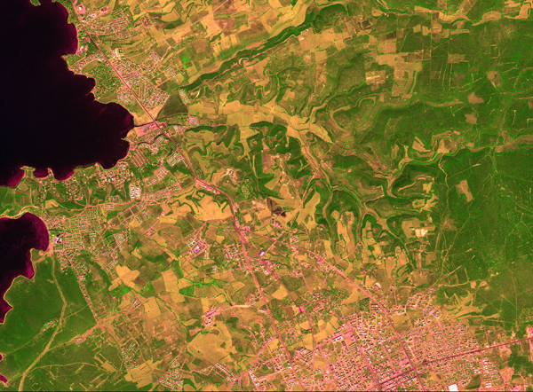
Remote Sensing
As part of this examination of the wider topographical situation of the necropolis, satellite images (including super-high-resolution WorldView-2) have been evaluated and compared with historical maps. This work allowed us both to track the effects of modern construction in the area of Mavişehir over the past decades, and combine it with this already-known ancient locations. Long-term it will enable us to revaluatate ancient systems of travel around the region as well as find so-far unidentified settlement areas. Neither the course of the ‘Sacred Way’ nor the actual location of the (presumed) settlement of Panormos next to the harbour is secure.
Continue to -> Publications…
 Project Panormos


